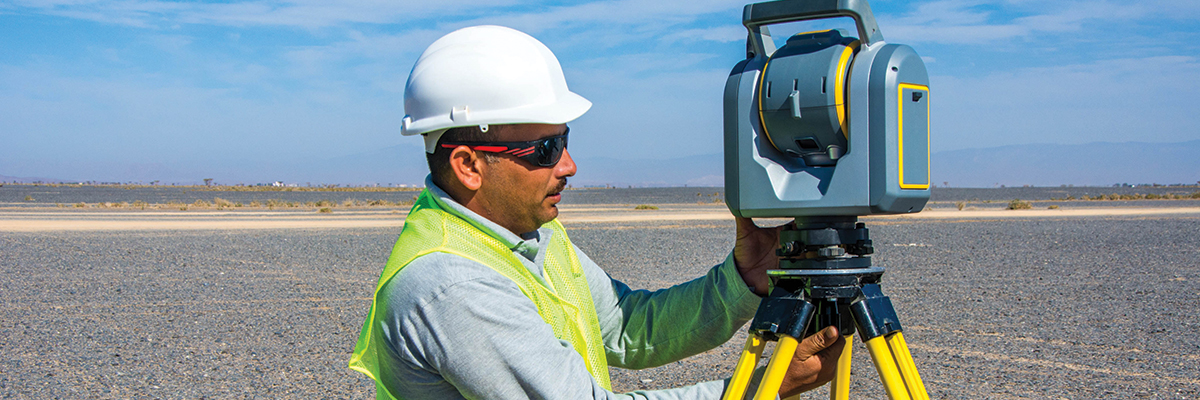
3D LiDAR (Light Detection and Ranging) Scanner is a remote sensing technology which uses the pulse from a laser to collect measurements which can then be used to create 3D models and maps of objects and environments. It gives a high accuracy data in Point Cloud with exact geo referenced coordinates and measurement which creates a 3D representation of the target object or area. Being the data available in three dimensional measurements it is commonly used in Survey for getting the natural / built environment such as buildings, roads, pipelines, quantity calculations, data classification as well as creating digital terrain (DTM) and elevation models (DEMs) of specific landscapes.
 English
 العربية