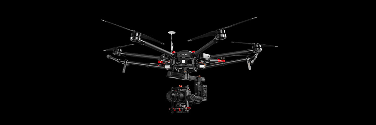
Drone Survey operates with Unmanned Areal Vehicle (UAV) better known as “Drones ” and offers cartographic and environmental analysis, data analysis from UAV and production of real orthophotos, 3D models surfaces, DTM and DSM. Our aerial photography is always registered to known ground control points which will help us to get precise geo referenced data that can be connected to any global referenced data system. The usage of Drones for the survey requirements considerably reduces time of surveying which in turns reduces costs and allows greater accuracy with lower health and safety risks.
Our data acquisition systems, consisting of drone and sensor, are designed and implemented on specific customer requirements. Design is aimed at rigorous scientific goals in data acquisition.
 English
 العربية